-1.png)
Drone Mapping: Maximizing Accuracy for Efficient Cemetery Management
For centuries, cemeteries have relied on traditional bookkeeping methods and manual record-keeping to manage burial plots, store information, and address the needs of families. In recent years, thanks to technological advancements and the rise of digital platforms, the cemetery service industry has undergone a remarkable transformation.
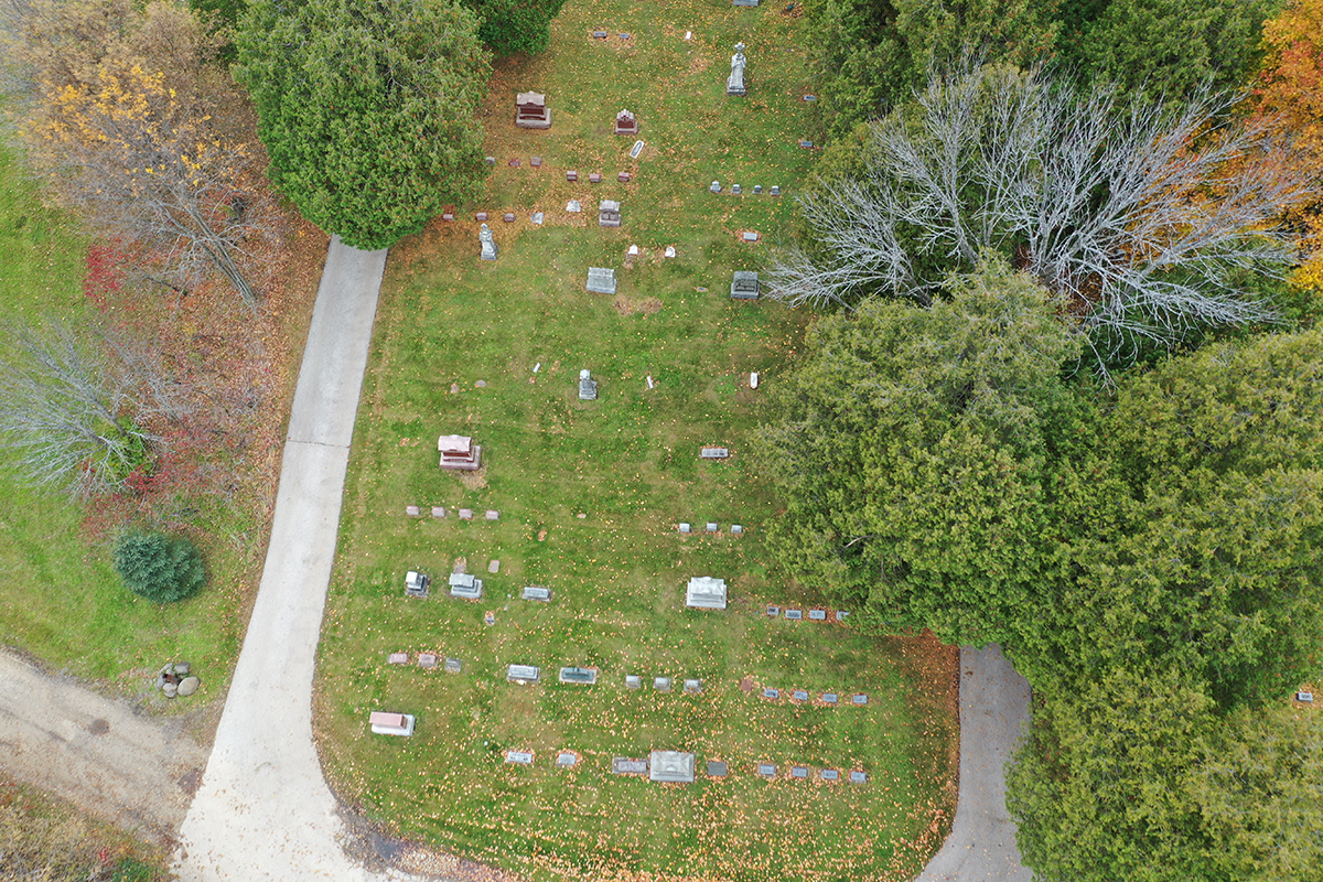
Recognizing the limitations of traditional cemetery management practices, countless cemeteries have now embraced new digital solutions and mapping technologies, like CIMS, to revolutionize their data storage. Drone mapping, one of these new and impressive developments, has opened up a world of possibilities for cemetery management, providing comprehensive visual data that was previously unattainable.