What is 360-Degree Imaging and What Can it Do for Your Cemetery?

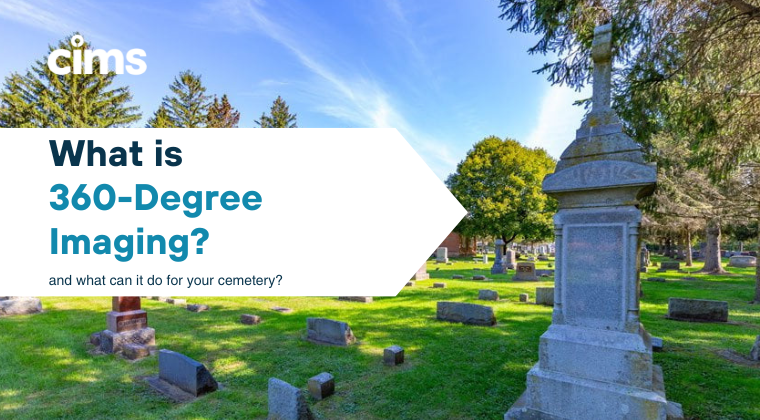
As technology continues to evolve, we are constantly expanding our capabilities to meet the needs of modern cemetery managers. One new technology we have been implementing lately? 360-degree drone imaging. This technique allows us to create interactive virtual replicas of your cemetery for staff and visitors to utilize, giving them the ability to drop into any point in the cemetery and view it as if they were on the grounds.

What is 360-Degree Imaging?
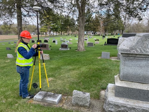
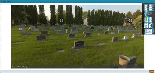
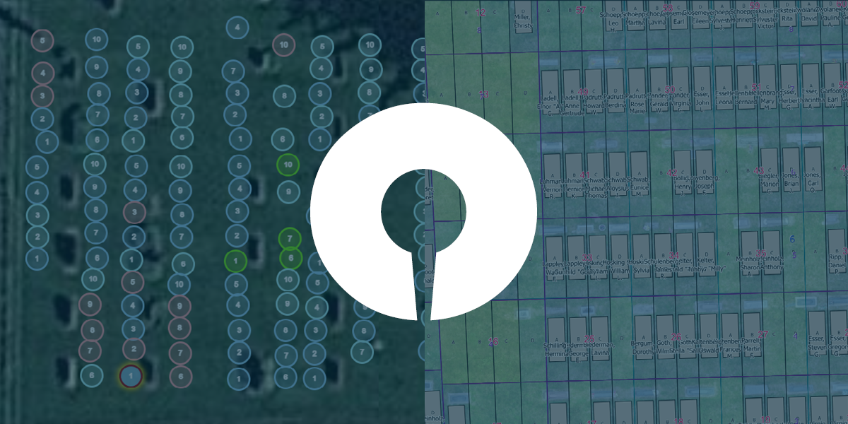
360-degree imaging is a cutting-edge technique that involves capturing panoramic images or videos from all directions, providing a complete view of a specific location. This is similar to technology you have seen with Google “Street View,” but is specifically for your cemetery. This technology employs a specialized camera, which is capable of capturing images in a full circle. The resulting imagery is seamlessly stitched together during post-processing and linked to the appropriate location of your CIMS map to create an immersive, interactive visual experience.

360-Degree Imaging for Cemeteries
By harnessing the power of 360 imaging, CIMS can generate a virtual replica of your cemetery. It allows viewers to virtually explore the entire space, providing a unique perspective that traditional photography cannot achieve. This can be invaluable for preserving the memory of loved ones and aiding in historical documentation, offering a meaningful addition to any cemetery's record-keeping and visitor experience. You can also save time and money by offering virtual plot showings during inclement weather or unexpected schedule changes. Imagine a situation where you have a limited window of time to show a family a grave space to purchase, but the weather is not cooperating. You can use CIMS 360 Imagery to show them exactly what that grave space looks like, and what the view would be if you were standing on that space.
Using 360 imaging is a great way to capture the beauty of your cemetery ground and build more accurate, interactive digital maps. 360 imaging is available as an add-on to our CIMS Gold and CIMS Platinum software packages. Ready to start exploring your options? Request more information about our software or schedule a virtual demo today!
Are you a current CIMS client looking to add 360-degree imaging onto your existing package? Request pricing here.


